|
|
|
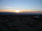
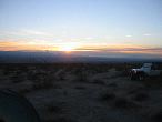
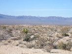
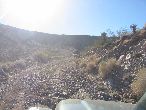
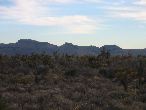
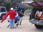
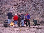
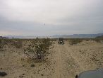
First sunrise camping. Dec 31, 2003. 6:57am
|
|
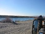
accidentail self-portrait at the Colorado river. THis is as far east as we go.
|
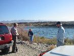
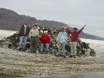
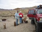
This is the Colorado River, where we each collect a rock for the Travelers Monument in Soda Lake. That's Dakota, Mary Pat & Tworocks.
|
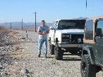
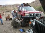
SnapOn brought plenty of tools. Whatever you needed, he seemed to have it handy.
|
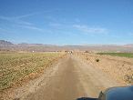
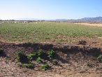
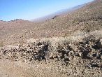
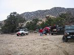
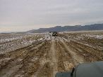
Crossing the Farm, we make a big zig zag.
|
|
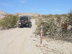
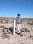
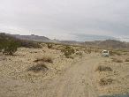
The "offfically" marked beginning of the Mojave Road.
|
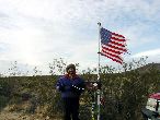
Montego at the Calif / Nevada Border. Hair seems especially tall today.
|
To locate Piute Springs; an important source of water; line up that flat top mountain with that notch, just like a gunsight. Walk towards it, keeping the lined up. It's less than 30 miles from here.
|
|
See the flat top mountain getting closer?
|
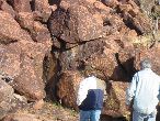
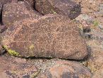
Looking for Petroglyphs at Piute Spring
|
|
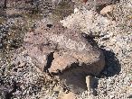
Found one!
|
buffalo?
|
|

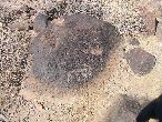
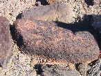
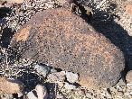
I saw this exact rock in the Mojave Road book. So it's been here at least since 1986, and probably a much longer time!
|
|
|
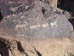
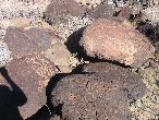
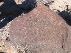
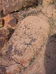
Ah, something I can recognize! Looks like desert antalope, or bighorn sheep, something like that.
|
|
|
a key?
|

Dancing Man
|
|

|
Looking like the petroglyph
|
Flagpole stand?
|
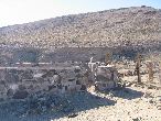
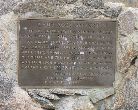
Fort Pah-ute marker (Piute)
|

The ruin of the fort is just beyond the marker.
|
Looking from the Fort Piute marker across to where we had lunch.
|
|
Leaving Fort Piute
|
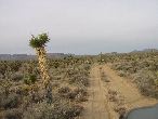
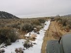
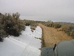
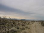
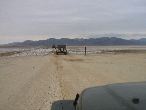
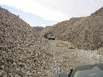
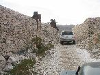
long road ahead.
|
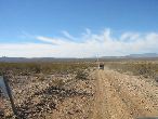
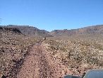
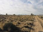
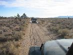
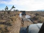
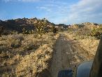
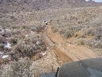
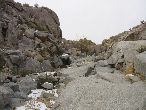
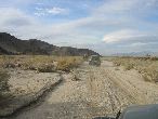
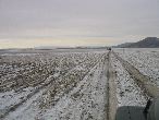
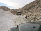
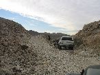
Mojave road just stretched out for a long distance.
|
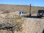
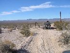
Mary Pat kindly opens the gate. Remember to always leave gates as you found them.
|
I would have liked to have 5 days to do this trip. We did it in 3 days west, plus a day to get east.
|
Petrogylphs at the well
|
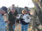
The 2 daughers of the guy who dug this well had plenty of time to carve their names into the rock.
|
And the indians had a few thousand years to practice making petrogylphs there too.
|
|
|
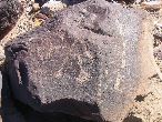
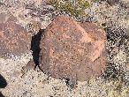
I think this one looks like a calendar. Or something.
|
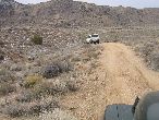
we travelled about 40-45 miles per day, and that seemed like a lot.
|
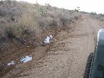
It must have rained about a week ago.
|
Mary Pat notices something besides pennies in the penny can.
|
Mary Pat steps in something uncertain
|
And I just washed it! ;-)
|
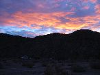
The day changes to late afternoon, as the sun goes behind the mountain
|

Stone cabin. This is near where we turned off the Mojave Road and looked for a colder spot to camp.
|
Yup! It's getting colder!
|
Late afternoon sun
|
7 mles of gaining altitude, and we found a much colder place to camp.
|
Critters!
|
THis camp had less snow than Dakota's first choice, but with less shade, it was probably a good deal less cold.
|
No one else was around at all. But we didn't see more than 3 groups of people on the whole Mojave Road anyway.
|
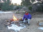
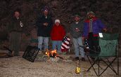
We had a roaring fire going by 4:30p to try & melt the snow out of the fire ring. Brrr! It's Dec 31, 2003
|
It's 8:30am, Everybody packs up. It was down to 26 degrees F last night!
|
|
The first photo of 2004! I took this one for the Sunshine kid, becasue sometimes she signs letters to me XO, so maybe this is her ranch.
|
Cattle Ranchers really influences this country, even a hundred years later
|
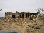
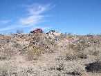
Stone Cabin. It looks a lot better on the outside.
|

|
Back on the Mojave road at 9:36am Jan 1, 2004
|

Look how deep the road is here after a few thousand years of use & natural water flow.
|
|

|
|

|
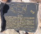
I really wish a few idiots would stop shooting at signs. It makes all shooters look bad. In 1854 Whipple led an exploration party...
|
I didn't shoot any signs. I hope you don't either. Tell a friend.
|
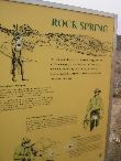
Camp Rock Springs sign
|
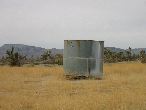
The spring at Camp Rock Springs.
|
Montego. We saw fairly big ice chunks this morning around 10am. Ranchers built this concrete bit to control the water flow for their cattle.
|
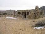
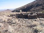
Faber's Cabin
|
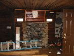
Faber's Cabin inside.
|
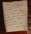
The sign over the fireplace. I can't say that I blame him. Sounds reasonable really.
|
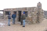
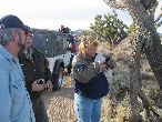
Talking with the Park Service volenteer that is restoring the place. Jan 1, 2001 10.36am
|
Still plenty of snow.
|
|
Jan 1, 2004, 11am. The famous "Government holes". Actualy only one hole, it's an old well. An important Stage coach & wagon stop. They all needed water.
|
Also the location of the last recorded old west gunfight.
|
Travelers used to stop here to get water. Before the 10 & 49 highways were built.
|
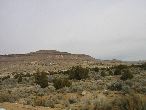
The view from Gov't holes
|
See that lump on the horizon? Now don't forget what I'm about to tell you...
|
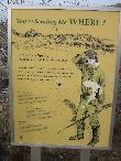
The Mohave Road sign.
|
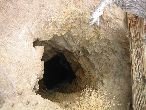
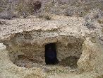
Mine, or just a hole in the ground?
|
What's left of an Adobe structure
|
|
Could be another mine
|
Yeah, probably.
|
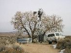
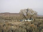
Almost seems like a Gourd tree!
|
|
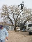
The Mojave Mailbox
|
|
|

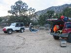
We camped at "Seventeen mile point". Named because its 17 miles in either way to the next water. Thats really pushing it for horse & wagon travel.
|
|
I moved the chair, and adjusted the camera to be brighter, but that dang bottle looks like it was placed there!
|
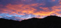
Meanwhile overhead, sunset is kicking off
|
|
We leave 17 mile point camp & continue West. Jan 2, 2004, 9am
|
|
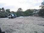
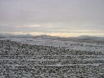
Soda Lake looks like it's passable.
|
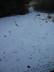
That's NOT snow, it's minerals
|
|
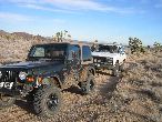
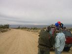
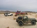
We kept the vehicles spaved apart, in case it got too muddy & we need to recover anybody.
|
|
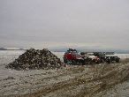
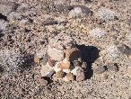
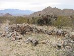
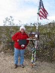
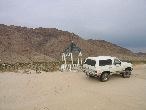
The Travellers Monument.
|
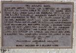
The Travellers Monument. There is a brass sign in the middle of the pile, you can easily read it if you just look down the hollow center. Only people who have been there know what it says, so keep the secret!
|
The sand dunes west of Soda Lake
|
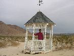
a Gazebo??!!!
|
A Gazebo and an anchor?! Too much!
|
|

Afton Mine
|

|
Afton Mine
|
Afton Mine
|
Afton Mine
|
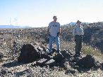
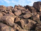
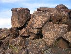
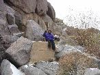
Look at this pro rock stacking!
|
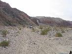
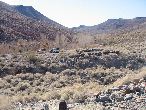
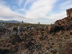
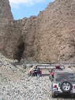
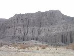
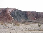
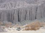
Afton Canyon
|

Lots of colors in Afton Canyon
|
Afton Canyon
|
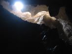
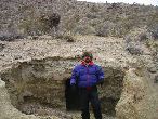
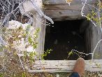
I took this photo straight up after hiking & climbing about a hundred yards into a large cave. IT wound around llike a spiral staircase, sometimes well lit, somtimes dark. I hear that there is a rope at the very top & you can climb out onto the cliff above. If you trust a very old rope!
|
The opening to that cave. "Crack in the wall" the bikers called it.
|
|
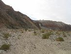
Afton Canyon
|
Afton Canyon
|
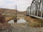
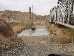
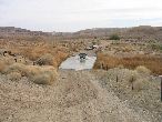
water crossing.
|
|
Good place to hose off the allkali mud frm Soda Lake
|
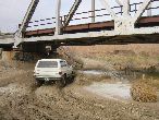
Montego is in up the the headlights
|

Just keep moving or the engine will get soaked!
|
|
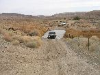
Afton Camp, we stopped just to air up, have lunch and
|
fix Dakota's leaky tire
|
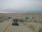
Don't know why this Helecopter was here. We're about to get on the fwy.
|