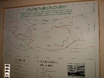
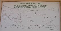
The mysterious BLM map. It doesn't relate well to any of the other maps I brought. That's highway 10 along the top, around Chiraco Summit. We went clockwise from top right, & took the road back up across the middle.
|
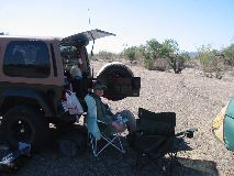
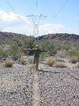
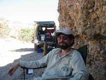
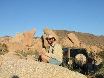
Sunshne Kid in camp Saturday morning.
|
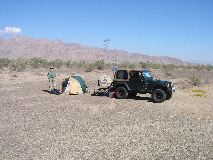
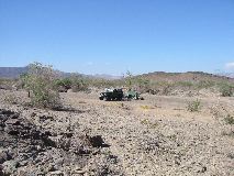
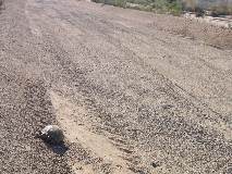
We camped off a side road of the powerline road. The ground was gravel, all pressed together almost like pavement
|
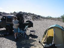
Montego
|
We almost didn't leave any tire tracks
|
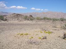
It was getting hot
|
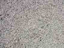
I thought this might make a nice computer desktop pattern!
|
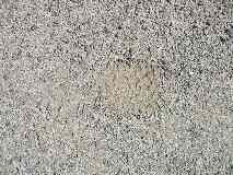
This is a tire print. Interestingly enough, you can't see it anywhere else, just right here. I think it might be where I turned the wheel.
|
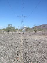
Dew dripping fropm the power lines makes more of a dent in the grounbd than our tires do!!!
|
|
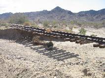
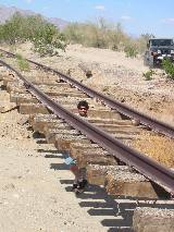
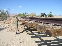
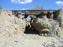
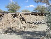
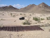
Now this is wierd! The train tracks have washed out & are just hanging in the air!
|
|
|
|
Gaaahhhh!
|
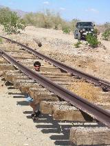
it's a 1963 rail
|
|
|
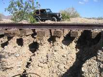
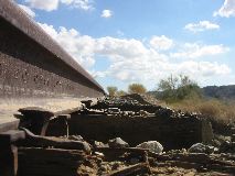
This part is ready to wash away in the next rainstorm
|
|
|
|
|
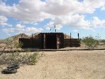
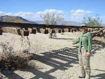
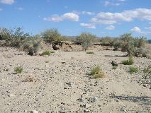
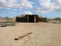
Not too far away, we had lunch at this abandoned train building
|
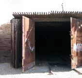
This building was made of railroad ties & rails!
|
For such a hot day, it was nice & cool in the shade.
|
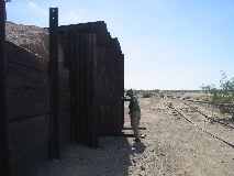
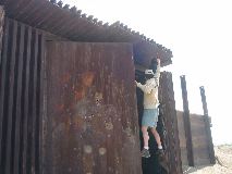
See? Those are steel rails & wooden railroad ties!
|
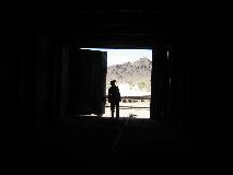
The view from the roof. More rails make the roof.
|
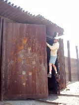
Thats an amazing piano hinge. It's huge! The doors are so heavy that they don't swing in the wind.
|
|
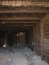
The inside. I wonder what the rails on the floor were for? Did they have a cart to wheel out for train repairs?
|
|
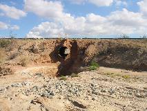
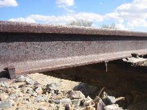
A sinkhole & you can see through the pipe. They must get some rain out here after all.
|
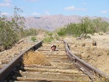
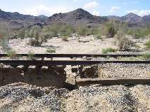
Note the sky under the tracks! I wonder when it gets so much water.
|
The train building is at about 4 o'clock or so. Before the 3 lefts. Of course they don't have any landmarks on the map.
|
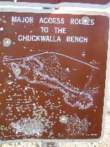
Why do a few idiots shoot signs? They make all gun users look bad. ANd the signs are just that much harder to read. Not that it was a very useful map anyway. Note how it doesn't match well to the previous map sign.
|
A desert tortoise! Of all the places hecan be, he wants to cross the main road in the area. We stopped to say hi. He didn't say much.
|

He looks healthy, and didn't seem to care if we looked at him or not.
|
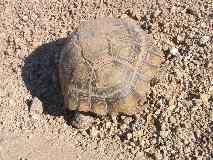
There he goes!
|
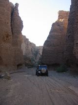
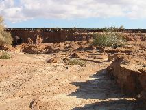
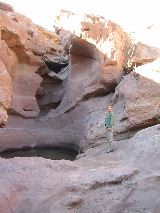
Red Canyon
|
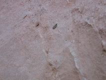
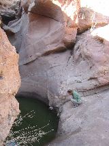
Tiny frogs! We saw hundreds of them!
|
Here is the pond where the tiny frogs live around.
|
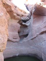
There must have been a lot of water flowing through here at some time.
|
Oddly enough, a number of these tiny frogs have only one hind leg. Could be inbreeding? We seem too far from polution for that to be an issue. Maybe it's the greem slime.
|
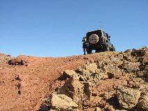
This is where the road got steep.
|
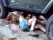
And also where the 4wd lever came loose. Good old mini crescent wrench!
|
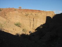
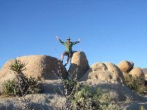
A spectacular view!
|
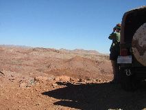
a view too big to take a photo of. Even a panorame wouldn't explain it well.
|
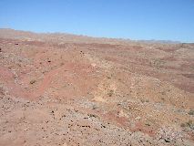
A number of trails go off in a number of directions.
|
Lunch in the shade. It was hot hot hot!
|
BUBBLES!
|
|
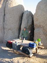
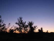
We camped in Joshua Tree at the free "White Tank Camp" it was really nice. We chose this spot for morning shade & evening sun.
|
Watch for those curved rocks again at moonrise
|
|
|
|